Why This Technology Matters
Accurate digital replicas assist in the design, planning, and commissioning of operations projects. On-site as-measured data ensures precision, reducing reliance on inaccurate 3D models.
Our Key Value Add
Our reality capture specialists integrate and host this data, enabling your team to use it throughout the facility’s operational life. Benefits include:
Reduced number of site visits
Accurate pipe tie-ins
Ability to conduct remote inspections
Progress monitoring
Enhanced design accuracy for facility / pipeline upgrades

Key Reality Capture Services
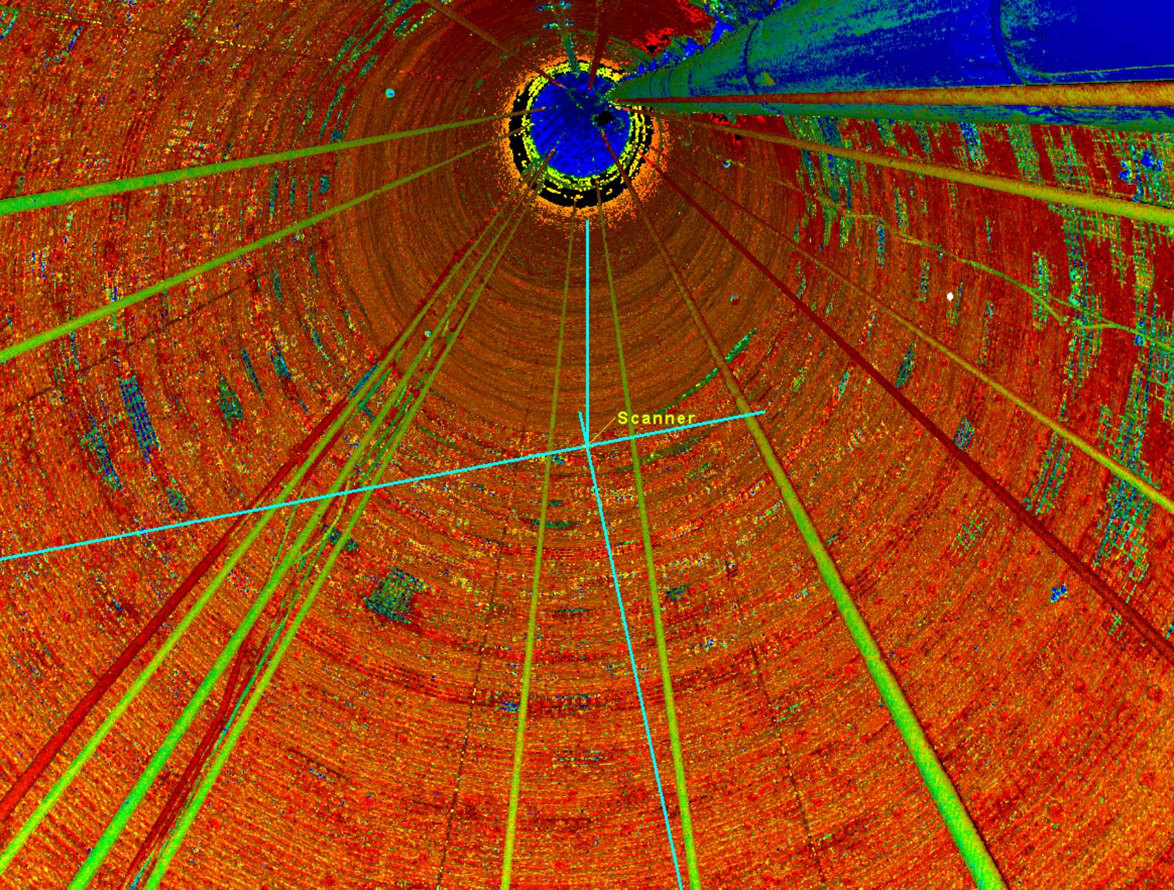
Benefit from the latest in reality capture technologies, including 3D laser scanning and RPAS (drone) services. Our 3D laser scanning services include a fleet of the latest, best-in-class, 3D laser scanners from Leica. Our Remotely Piloted Aircraft Systems (RPAS) technology is comprised of a continuously evolving fleet of fixed and rotary wing vehicles to carry a variety of sensors for specific requirements, including LiDAR, photogrammetry, thermal and other sensors as required.
Field data capture: 3D scanning, RPAS/UAV drones with LiDAR, Total Station, GPS
Local coordinate systems for project work
Problem solving using 3D models and point cloud data
Creation of 3D solid models
3D modeling and design reviews
Underground mine scanning
As-built surveys
Volume and area calculations
Topographic and detail surveys
Fabrication and construction verification and inspection
Design and interference checking